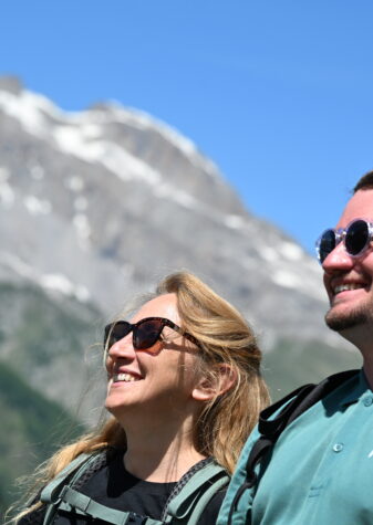
VTT & vélo de montagne autour de Pra Loup
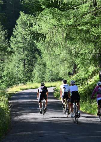
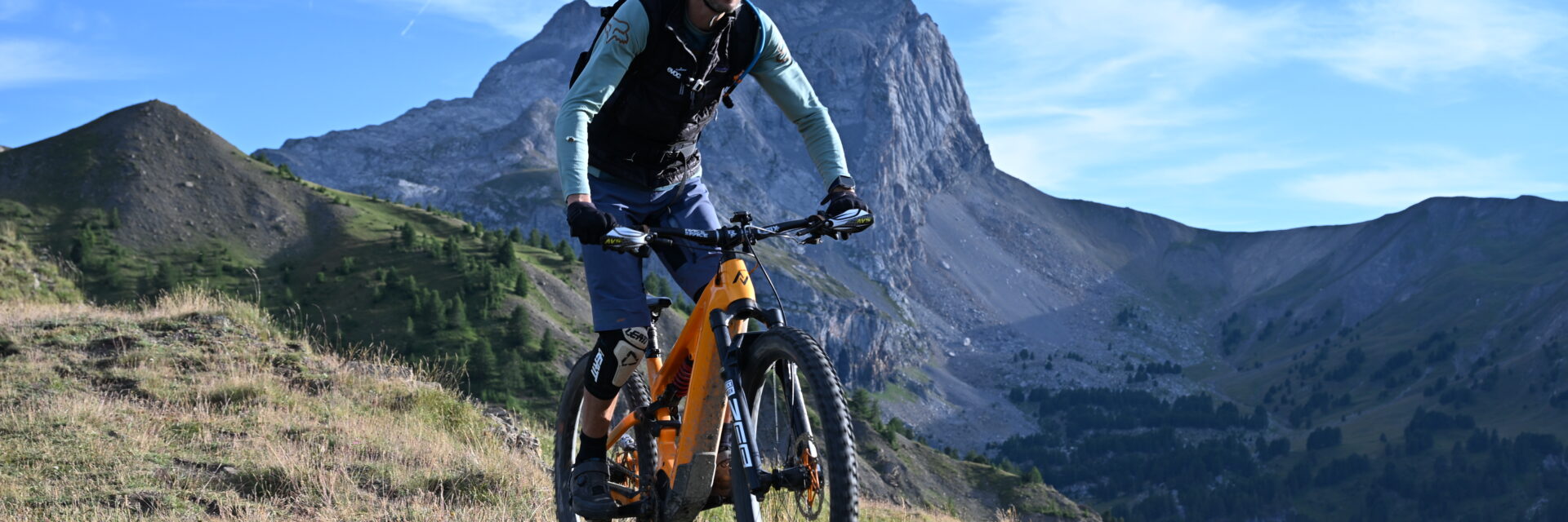
A favourite land for mountain biking.
The Ubaye Valley offers 340 km of marked routes including a 106 km “Transubayen” mountain bike trail crossing the valley and partly using an old railway line and its tunnels!
From walks with family or friends, to multi-day raids, discover all these routes, cross the Valley and discover the villages thanks to the Transubayenne mountain bike trail.
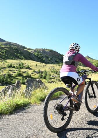
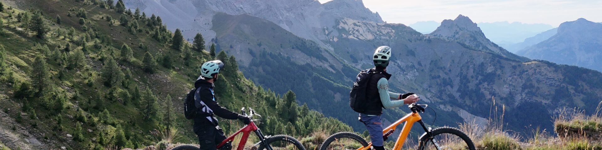
The Transubayenne
Made up of 11 sections of different levels, this route is unique and very complete. Paths winding through the middle of the mountain pastures, leading you to discover the cultural and architectural heritage of the valley, in particular the villages of Haute Ubaye, the fort of Tournoux and the tunnels of the old Lauzet railway. Passages in the forest for more precise steering, a wide track offering a privileged view of the landscapes of the lower Ubaye, the Transubayenne definitely has everything to please.
The upper part, a little more delicate, will satisfy experienced cyclists, wishing to face the upper Ubaye valley. The lower part, from Barcelonnette to the Serre-Ponçon lake, is more affordable. It will be better suited to a family audience looking for rolling tracks.

The topo:
Col de Larche / Meyronnes
Black / 19.5 km / D+: 817 m
1 – At the Col de Larche, descend by the D900 road towards Larche for 1 km.
2 – Leave the road and take the uphill track on the right (M2) for 4.7 km.
3 – Follow the track downhill and flat for 1.8 km.
4 – Cross into the pastures (D1), then descend (D2/3) for 900 m.
5 – Ford the torrent, then make a long traverse on the mountainside for 1.8 km (a narrower passage may require you to get off your mountain bike).
6 – Join the uphill path, then turn left at the crossroads. Continue for 1.9 km.
7 – From the fort, the track descends (M2) for 3.2 km.
8 – Continue straight on downhill (intersection “Col de Mallemort” N°14).
9 – In Saint-Ours, cross the village to the fountain and turn left onto the downhill track (D2) for 4.1 km. Before the colony, take the path on the left, then cross Meyronnes.
Meyronnes / La Condamine
Black / 9.7 km / D+: 70 m
10 – Cross the D900 road and take the track (D2) opposite. After the bridge, continue on the concrete track with a steep start (M3) for 1.5 km.
11 – At the crossroads, continue straight on the track (M1) for 1.3 km.
12 – Continue straight on the downhill track (D2) for 4.2 km.
13 – Continue on the D900 for 400 m, turn left before the bridge.
14 – Take the track, follow it for 1.5 km to the cave, cross the bridge and go up to the centre of the village.
La Condamine / Jausiers
Black / 7.4 km / D+: 404 m
15 – Turn left onto the D900 for 500 m, at the exit of the village take the track that goes up to the right.
16 – The track climbs (M3) for 900 m. cross the village of Le Châtelard, pass in front of the fountains and go to the crossroads.
17 – Turn left onto the track (M2) for 1.4 km.
18 – Continue straight ahead, descend (D2) first on a track and then on a small tarmac road for 2,850 km.
19 – Leave the road and turn right onto an old mule track (be careful, the junction is not very visible, do not go down to the CD900). Control and limit your speed.
20 – Be careful, sharp turn to the right overlooking a cliff of about twenty meters, secured by barriers. Then turn right onto the wide path going uphill.
21 – Follow the main track on the left (D1/2/3). At the foot of the descent, follow the path between the fields to the CD900 road (be careful, it is forbidden to cross the fields).
Jausiers / Barcelonnette
Green / 8.4 km / D+: 137 m
22 – Cross the CD900, take the road opposite downhill to the edge of the Ubaye, then turn left and cross the bridge. Cross the parking lot of the lake and head towards the exit. Turn left onto the Route de la Bonette for 500 m, then turn into a small street towards the Moulin d’Abriès. Continue straight ahead, cross the bridge and go down to the right. Turn right in front of the bridge and go down to the Ubaye and the CD900.
23 – Cross the CD900 and take the road that goes up (M2) opposite, take the first fork on the left. Cross the bridge, reach the hamlet of Briançon. Turn right uphill and then quickly left.
24 – Go down the track (D2) to the left, which shortly afterwards becomes a small tarmac road. Ten metres before the stop sign, turn right into the field onto the path along the CD900.
25 – Go up the track on the right (M2) for 500 m.
26 – Turn left on the bridge, cross the hamlet of Le Bourget and follow the main road.
27 – Pass the Faucon torrent and continue straight on to Faucon-de-Barcelonnette. Cross the village by the main street going downhill. Be careful, fast descent leading to a Stop, and the CD900. Turn right until you reach Barcelonnette.
Barcelonnette / Les Thuiles
Green / 10 km / D+: 120 m
28 – Cross Barcelonnette (mountain bike sign) in one direction until you reach the crow’s foot in front of the hospital. Continue straight on into the housing estate, turn left at the exit, then right. Continue straight on to the barracks.
29 – Turn left onto the tarmac cycle path. At its end, turn left between the garages and the buildings, then right to reach a crossroads. Continue straight ahead, cross the supermarket car park and take the exit. Go up to the right on the pavement before the roundabout and go around the petrol station. Be careful, heavy traffic. A path starts on the right between the trees, until you reach a footbridge.
30 – Turn right on the track for 200 m, then left into the pine forest. Then take the path straight into the woods, pass behind the equestrian centre, and continue straight on to the road. Turn right and then left to take the trail.
31 – Go up the road for 100 m. Take the path in the woods, winding and bumpy in its flat part for 750 m, it then climbs (M1 then M2) for 500 m and comes out on a small road.
32 – Turn left, cross the bridge and then left again on the downhill track for 800 m along the Riou Bourdoux. Then descend into the woods along a narrower and winding path. Coming out of the woods, turn right and continue for 400 m on a climb (M1). At the crossroads, turn left and then right (M2), cross the ford to reach the road. Descend it to the left for 400 m.
33 – Take the path on the right that runs along the CD900 for 600 m, then take the track straight ahead in the woods.
34 – At the Bérarde torrent, go down into the bed and go up opposite by the ramp, stay behind the barriers, at the stop sign take the CD900 to Les Thuiles. At the entrance to the village, cross the road and take the direction of Les Chapeliers, then cross the bridge over the Ubaye.
Les Thuiles / Le Martinet
Green / 11 km / D+: 220 m
35 – Turn right after the bridge and continue to the relaxation area. After the bridge, continue on the main road (ignore the road on the left). Continue along the right-hand track through a succession of climbs (M1/2) and descents (D1/2), for 2,450 km.
36 – Succession of descents (D1/2) and climbs (M1/2) over 2.3 km to the road.
37 – Go up the road to the village of Méolans-Revel.
Le Martinet / Champanastaïs
Green / 5 km / D+: 50 m
38 – Cross the village by taking the alley on the right, which leads to a downhill track D2 and then flat, for 1.8 km.
39 – Continue straight on the road to Le Martinet and cross the village.
40 – At the crossroads, take the road on the left for 600 m, pass under a bridge and continue to the tunnel.
41 – Go up the track (M2) for 100 m to the right of the tunnel, then turn completely right onto a wide path. It winds through the forest and ends at the other end of the tunnel.
42 – Follow the track overlooking the CD900 for 1.6 km and pass over the wooden footbridge.
Champanastaïs / Le Lauzet
Red / 4 km / D+: 284 m
43 – Turn left onto the small road that goes up to Champanastaïs (M2) for 450 m.
44 – Take the wide, slightly steep path to the right, then the path on the left. Cross the stream. Be careful, short technical descent before the torrent. Close the barrier of the horse park. After a short climb (M3), continue on a nice path.
45 – At the crow’s foot, take the path on the right (D2/3) for 750 m, with a D4 passage. Reach the entrance to Lauzet by the roadside path.
46 – Pass between the D900 road and the La Lauzetane hotel, then in front of the Post Office, and cross the car park at the top of the lake.
Le Lauzet-Ubaye / Serre-Ponçon
Green / 5.4 km / D+: 0 m
47 – Take the direction of Lac de Serre-Ponçon, continue straight on and pass under the CD900.
48 – Tunnel 4. 1st tunnel, the longest (1,730 km, unlit, the track is better on the left side).
49 – Cross the slatted footbridge, the view is impressive.
T3: 2nd tunnel, 250 m long, unlit, the ground is uneven but rolling.
T2: 3rd tunnel, length 480 m, unlit, the ground is uneven but rolling.
Pass in front of the ruins of the hamlet of Roche Rousse. Be careful, danger of collapse, do not venture into the ruins.
T1: 4th tunnel, length 210 m, unlit, no defect on the ground.
Serre-Ponçon / Pontis
Black / 10.5 km / D+: 513 m
50 – At the exit of the tunnels, turn right onto the road for 2.3 km. Go through a tunnel and continue to the Ubaye cemetery. Be careful, you are on the road network (D954), the tunnel is narrow, there are lights and no visibility, report (reflectors, lamp…).
51 – From the cemetery, continue for 100 m and turn right towards Col de Pontis (M3, M2) for 5.4 km.
52 – At the pass, continue on the road towards Pontis for 2,350 km.
53 – Arrival in Pontis.